Environmental solutioms
Expanding beyond resource assessment, FCTR also provides environmental monitoring solutions critical to renewable energy development.
Our services include:
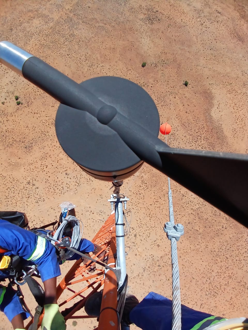
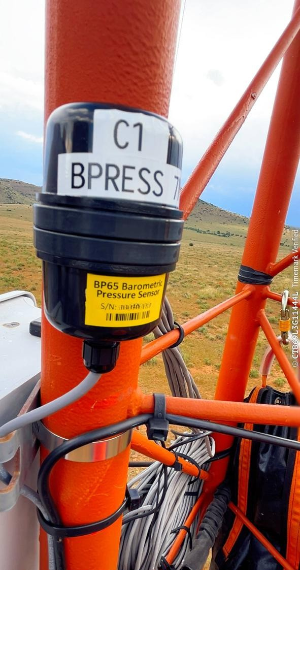
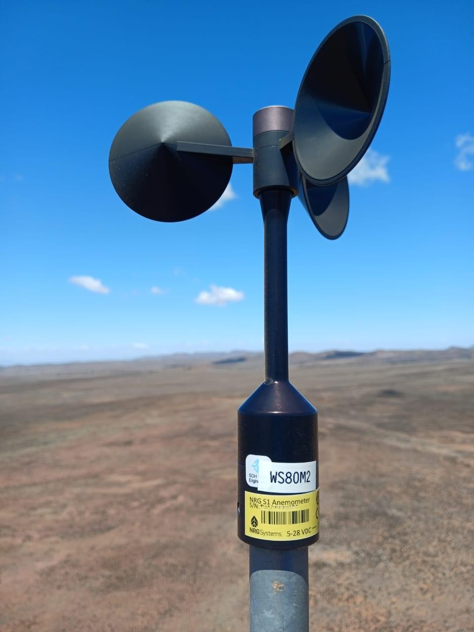
• Bat monitoring systems for Met masts and wind turbines
• Installation of NRG bat deterrent systems for wind turbines
• Bird monitoring solutions using Spoor AI technology.
These environmental considerations are essential components of responsible project development and must be integrated into overall development planning and cost structures. At FCT Renewables, we combine technical expertise, trusted partnerships, and field-proven experience to deliver reliable, compliant, and future-focused renewable energy solutions.
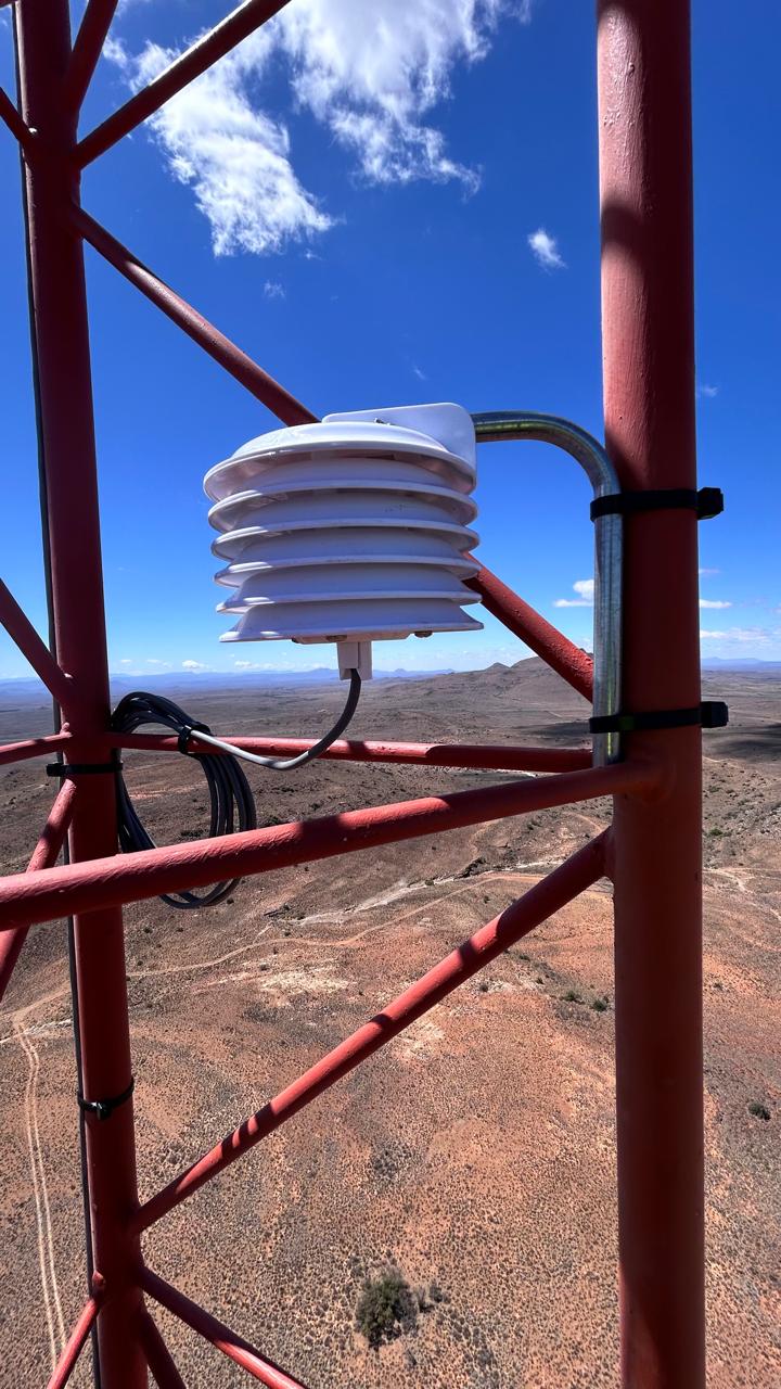
We can supply and install shorter 40m met masts with bat monitoring equipment and for further turnkey solutions, get our trusted partner IWS to monitor your Bat Systems.
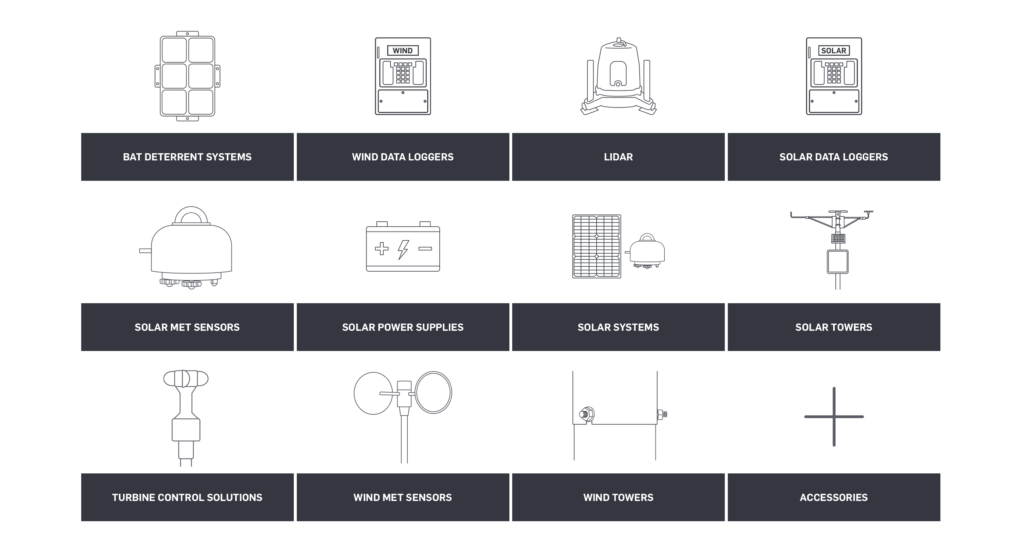
NRG SYSTEMS
FCT Renewables is the proud sole dealer of NRG Systems in Africa, offering their systems for sale. This allows FCT to venture into the turbine industry with the NRG Systems Bat Deterrent System. This system is site-specific per the turbine model and set up to deter bats from the turbines, providing a solution to keep wind farms operational and prevent bat fatalities at wind turbines.
How It Works
The BDS emit an ultrasonic acoustic field in the same range as the bats natural calling frequencies that will block out the ultrasonic return for prey and its own return, as bats will avoid spaces with ultrasonic noise in order for the bats to successfully forage and orient itself.



Bat Deterrent System Services
FCT offers the following for the BDS:
Pre-set up fo the BDS, including the wireless connection for sending data.
NRG BDS installation
Data Management in terms of receiving and storing the data.
Issuing weekly site reports
NRG BDS maintenance and upgrades.
Request A Quotation
Spoor AI
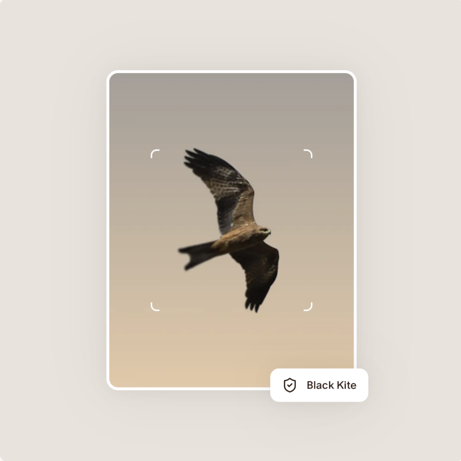
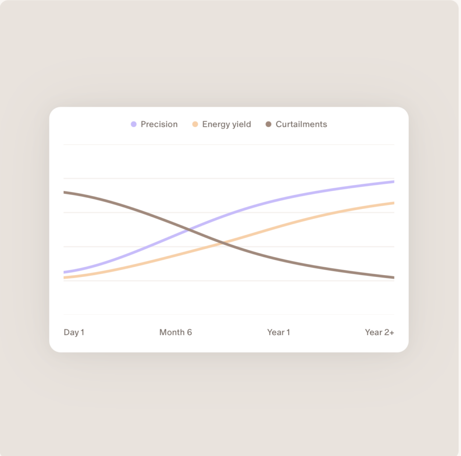
Reduce Bird & Bat Risks at Your Wind Farm. Accelerate permitting, strengthen compliance, and protect operational revenue with continuous AI-powered bird and bat monitoring.
How It Works
Traditional surveys deliver fragmented, weather- and daylight-dependent data that leads to additional studies, permitting delays, and regulatory risks.
The solution? A buoy-mounted camera system integrated with a metocean/LiDAR campaign: 4,500+ hours of annual daytime monitoring in all weather conditions, with species-level and flight height data.
Outcomes:
- Species-level insights that strengthen EIAs and de-risk approval
- Clear visibility into migration peaks and seasonal dynamics
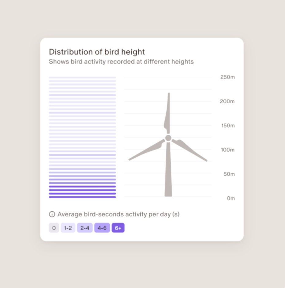
- Flight-height distributions for robust risk modelling
- Stronger auction bids with credible, high-resolution video evidence and data reports
- Greater certainty for developers, regulators, and stakeholders